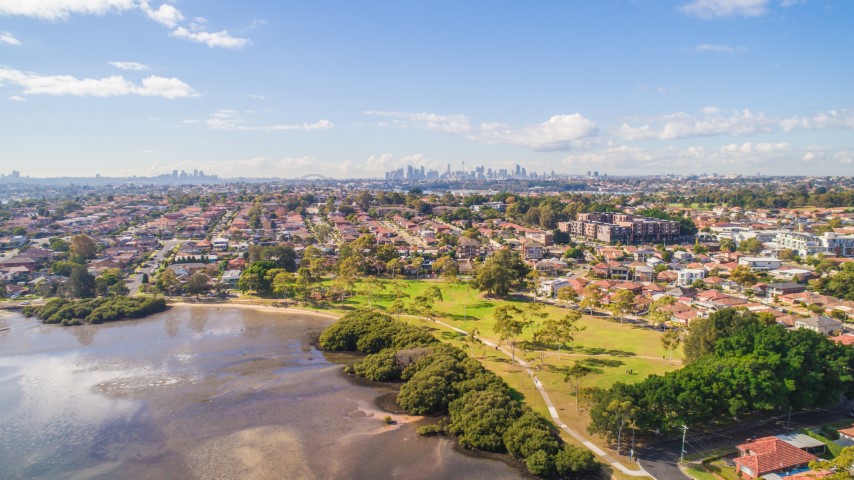
Help plan the City of Canada Bay's future and steer decisions on issues that matter to you.
Share your feedback
Collaborate Canada Bay
Public Mapping Service
Our Public Mapping Service is an easy to use online mapping system that will allow you to view and print a range of maps relevant to the City of Canada Bay.
Some examples of the information provided include:
- Aerial images
- Property information
- Parks
- Libraries
- Community facilities
- Planning information
- Heritage
- Carparks
- Suburb boundaries
For more information about the Public Mapping Service and how to use it, please visit the Online Help page. Please note that the Help page can also be accessed from within IntraMaps.

