
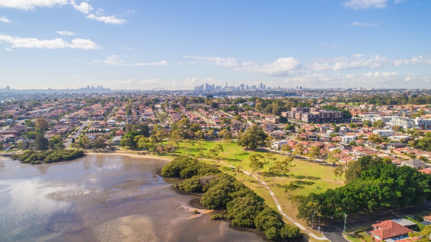
Help plan the City of Canada Bay's future and steer decisions on issues that matter to you.
Share your feedback
Collaborate Canada Bay
Future planning
The City of Canada Bay is responsible for the strategic land-use planning of urban renewal sites in our local area. Some of these renewal projects are led by Council, while others require Council to undertake detailed local planning to align with policy and strategic directions prepared by the NSW Government.
Click on the links below to view current projects.
Local Strategic Planning Statement
The LSPS informs Council’s other land-use plans, studies and strategies including Council’s Local Environmental Plan (LEP), Development Control Plan (DCP) and Development Contributions Plan and identifies additional strategies and policies that will be developed.
The LSPS was prepared in accordance with clause 3.9 of the Environmental Planning and Assessment Act 1979 (the EP&A Act). It gives effect to the NSW Government’s state-wide and regional planning priorities, including directions and actions of A Metropolis of Three Cities 2016-2036 (Region Plan) and the Eastern City District Plan 2016-2036 (District Plan).
Download and read the plan and the supporting strategies:
- Canada Bay Local Strategic Planning Statement
- Canada Bay Local Strategic Planning Statement: In Brief
- Canada Bay Employment and Productivity Strategy
- Canada Bay Local Movement Strategy
- Canada Bay Urban Tree Canopy Strategy
- Canada Bay Biodiversity Strategy
- Canada Bay Local Housing Strategy
- Canada Bay Open Space and Recreation Strategy
- Canada Bay Community Facilities Strategy
- Canada Bay Foreshore Access Strategy
- Community Engagement Report
Victoria Road Drummoyne
The Victoria Road Urban Design Review sets a vision for the future of the shopping strip along Victoria Road. It consolidates the outcomes of the community engagement, establishes the desired future character for the area, with potential improvements to public space and amendments to planning controls.
The changes to LEP and DCP that were recommended by the Victoria Road Urban Design Review can be viewed here Collaborate Canada Bay.
Five Dock Town Centre
Five Dock Precinct Master Plan
Sydney Metro West was announced in March 2018 as the NSW Government’s plan to increase rail capacity between the Parramatta and the Sydney CBD.
A draft Master Plan and Planning Proposal have been prepared to guide change around the proposed metro station in Five Dock.
Further information on the draft Master Plan and Planning Proposal can be found here.
Once finalised, the master plan will replace the Five Dock Town Centre Urban Design Study:
Parramatta Road Corridor
Council has finalised Stage 1 (2016-2023 release areas) of the State Government’s Parramatta Road Corridor Urban Transformation Strategy (PRCUTS). The new Local Environmental Plan (LEP) was published on Friday, 16 December 2022 and is now in force.
Visit Collaborate Canada Bay for more information about Stage 1
Council has prepared a Planning Proposal for Stage 2 of PRCUTS that will be placed on public exhibition in mid to late 2026.
Burwood North
The NSW Government has exhibited draft plans for the area known as Burwood North (Concord and Burwood). Further information on the draft plans can be found here.
Rhodes
The NSW Government rezoned land on the eastern side of the rail line and a smaller area on the western side of the rail station on 30 October 2021, following the finalisation of its Rhodes Place Strategy. This land is identified as the Rhodes Precinct.
Following the finalisation of the Rhodes Place Strategy, Council has updated its Site-Specific Development Control Plans (DCPs) to align with the NSW Government rezoning.
The following documents are relevant to Rhodes Precinct:
- NSW Government Rhodes Place Strategy and accompanying reports
- Canada Bay Rhodes East and West Development Control Plans
- Rhodes East Public Domain Plan and Rhodes East Street Design Guide
North Strathfield
Please refer to the information provided for the State Government Transport Oriented Development Program on our State Planning Initiatives webpage.